 |
| The Blorenge - pic taken last Autumn |
 The Blorenge has been called 'Cordell Country' by local writer and historian, Chris Barber. Alexander Cordell (9 September 1914 – 13 November 1997) was the pen name of George Alexander Graber, a prolific Welsh novelist. Cordell was fascinated by the industrial history of this area and wrote over thirty books about it, including most famously the novels, 'Rape of the Fair Country', 'The Hosts of Rebecca' and 'Song of the Earth'.
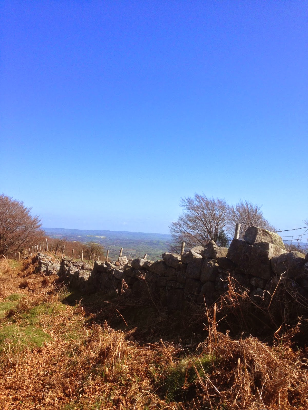
 The shape of the Blorenge (Blorens in Welsh), has been likened to a 'blancmange' pudding and was modified during the ice ages as the Usk Valley glacier flowed past it to its north. A small glacier nourished by windblown snow from the plateau excavated the hollow on the eastern side of Blorenge which is known as The Punchbowl. the hollow was later, further excavated by quarrying to remove red sandstone as a source of sand for iron making in the local ironworks at Blaenavon and Garnddyrus.
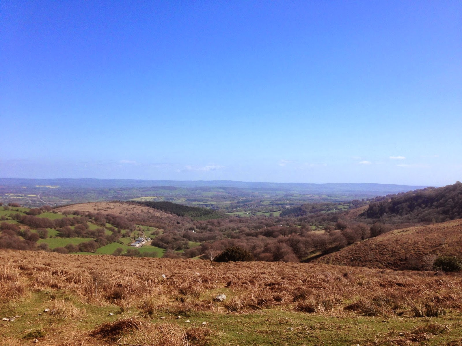
The walk down the side of the Blorenge to the Punchbowl takes you along a narrow track with a steep, stony descent between ancient beech trees with some spectacular views across the Monmouthshire countryside.
 |
| Jez and Dewi at the start of the walk |


As you come out of the woods at the bottom of the path you are aware that the shape of this deep, hollow in the side of the mountain is curved like a punchbowl and with the small lake that has been created in the bottom of it, you may well think this is how it got its name. However, what many visitors do not realise is that the 'Punchbowl' was once a popular venue for illegal bare knuckle boxing matches. In 1889 a fight between David Rees of Nantyglo and William Williams of Brynmawr went on for 42 rounds and lasted an hour and 42 minutes, all for a £10 purse.


Dewi enjoying a swim!

On a still day, such as when we visited, once you are down by the lake in the Punchbowl, there is an impressive echo. An early cuckoo calling as we picnicked by the lake in the warm spring sunshine - cuckoo, cuckoo, cuckoo - the sound magnified and bounced back to us off the sides of the 'bowl' was magical!

A welcome rest on the seat at the top of the track for Dewi and me on the way back up!

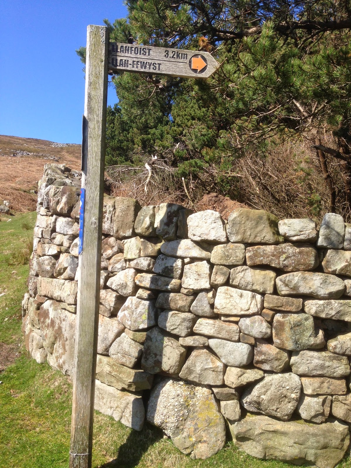
Finding the Punchbowl
There are several ways you can get to the Punchbowl. You can walk up to it from Llanfoist or via the old tram road from the road which winds steeply down from The Keepers Pond to Govilon.
However the most straight forward approach is across the mountain from Blaenavon, passing the Keepers Pond and the Foxhunter car park. You can stop off here to admire the views and visit the grave of Sir Harry Llewellyn's famous show jumper, Foxhunter, who won Britain's only gold medal in the 1952 Olympics..
Great views from up here!

From the Foxhunter car park continue travelling over and down the mountainside along the lane towards Llanfoist/ Llanover which has some spectacular views, until you reach the cattle grid. If you have less able people to show around this is a lovely, accessible drive to take them on!
Just before you reach the cattle grid you will see a track with a wooden gate on the left way marked to Llanfoist and the Punchbowl.


You can park on the side of the road under the trees

An alternative route back is to go over the cattle grid and follow the narrow lane down to Llanfoist or Llanover. Again there are some great view points across Abergavenny and the Sugarloaf and Skirrid to stop off on the way down!


Sources of information
'An Historical Tour Through Monmouthshire' - Archdeacon William Coxe 1801
'Cordell Country' -
Chris Barber 1985


No comments:
Post a Comment